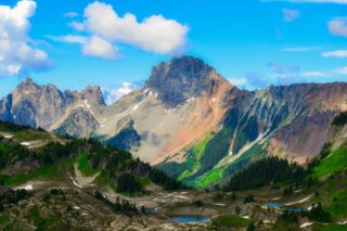
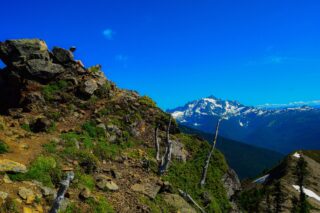
Yellow Aster Butte is a classic North Cascades trail located in the Mount Baker Wilderness, a scenic triple-summit peak just west of the Twin Lakes and Winchester Mountain, near Mount Baker. While it is not the most technical climb, Yellow Aster Butte is quite a challenging hike but it is also very rewarding. After you reach the summits, you will be amazed by some of the most spectacular views in the region, including Mount Baker, the Pickets, Mount Shuksan, Mount Larabee, Canadian Border Peak, American Border Peak, the Tomyhoi Peak, and even the beautiful Church Mountain further away to the west.

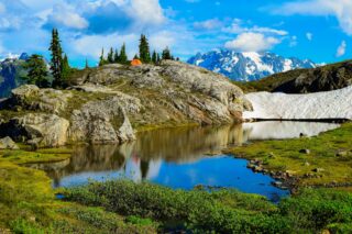

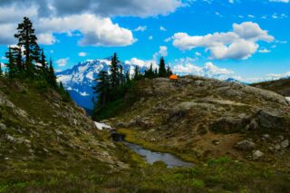
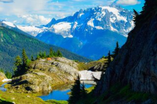
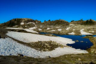
Come along on this 3-day backpacking trip and enjoy the spectacular views of Mount Baker, Mount Shuksan, Tomyhoi Peak, and many more mountains and ranges from the US all the way to Canada, along with endless meadows, tarns, and scrambling opportunities. Our trip started on Friday morning in early August. The hike to the Yellow Aster butte basin and tarns only takes short time but it could be steep in places. With the beautiful views and relatively easy trail to follow, we soon arrived at our destination. The camping area is pretty vast and finding a camping spot was not that hard. From the junction with the Yellow Aster Butte’s Summit trail, we descended down towards the tarns. The trail to the camping area is easily visible from the main trail, a fun and short one, but steep, with tight switchbacks.
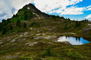
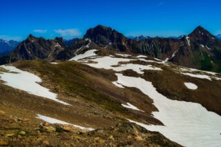
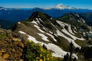
We were able to scramble up on not very known Keep Cool butte which provided amazing views of Yellow Aster Butte area Tomyhoi Peak.
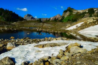
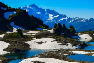
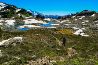
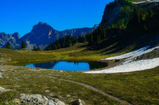
The next day we have set on our path to Tomyhoi Peak, peak accessible from a climber’s path branching off the Yellow Aster Butte or Tomyhoi Lake trail. From the camping area, the trail towards Tomyhoi Peak is initially flat, passing through a handful of tarns. It then picks up elevation quickly by taking a steep, straight-up path towards the first meadows. From here the views of the North Cascades jagged peaks kept getting better and better. The trail continues going up and down and up and down for a couple of more times before reaches the glacier.
From the glacier, its just a short rock scramble to the top.
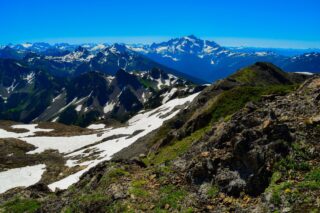
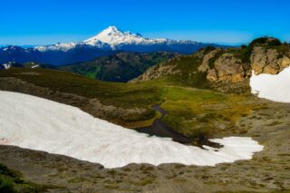
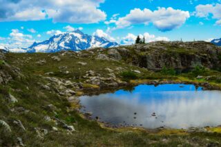
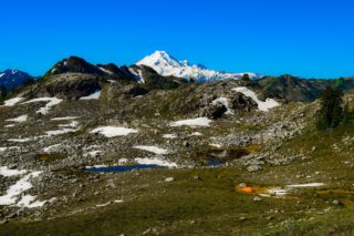
The walk from our camp to the false summit of Yellow Aster Butte was less than a mile long, but with about 800 ft of elevation gain, it was a pretty good warm-up section to start the day with. From here we could see Mount Baker to the South, Mount Shuksan to the South East, and Tomyhoi Peak to the North West.
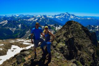
From the false summit, the trail to the true Yellow Aster Butte summit is visible, easy to follow, and it is less than 1/2 mile long. It is a fun walk with a bit of scrambling at the end to reach the summit. Once again the views did not disappoint! The true summit is a very small block, not more than 2-3 people fit on it.
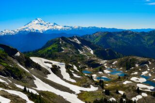
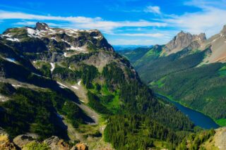
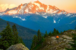
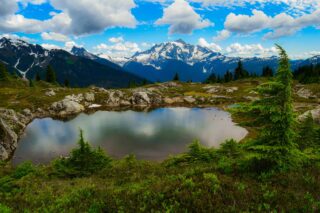
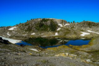
Our time in the camp have been spent walking around the tarns and taking in all the spectacular views. The sunset over Mount Shuksan was nothing short of breathtaking!