The Pacific Northwest, sometimes referred to as Cascadia, is a geographic region in western North America bounded by the Pacific Ocean to the west and by the Rocky Mountains on the east.
The Northwest Coast is the coastal region of the Pacific Northwest, and the Northwest Plateau (also commonly known as “the Interior” in British Columbia and the Inland Northwest in the United States) is the inland region. The term “Pacific Northwest” should not be confused with the Northwest Territory (also known as the Great Northwest, a historical term in the United States) or the Northwest Territories of Canada.
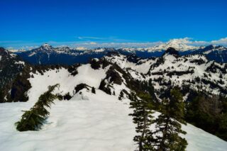
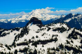
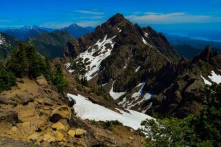
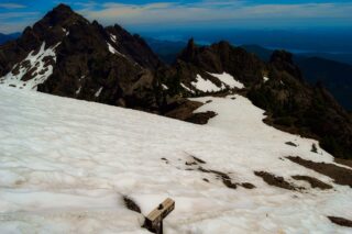
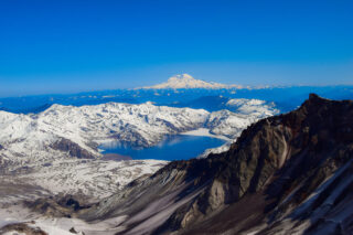
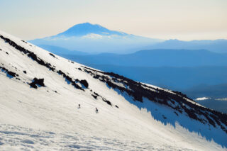
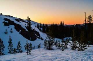
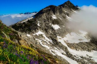
The Cascade Range or Cascades is a major mountain range of western North America, extending from southern British Columbia through Washington and Oregon to Northern California. It includes both non-volcanic mountains, such as the North Cascades, and the notable volcanoes known as the High Cascades. The small part of the range in British Columbia is referred to as the Canadian Cascades or, locally, as the Cascade Mountains. The latter term is also sometimes used by Washington residents to refer to the Washington section of the Cascades in addition to North Cascades, the more usual U.S. term, as in North Cascades National Park. The highest peak in the range is Mount Rainier in Washington at 14,411 feet (4,392 m).
The Cascades are part of the Pacific Ocean’s Ring of Fire, the ring of volcanoes and associated mountains around the Pacific Ocean. All of the eruptions in the contiguous United States over the last 200 years have been from Cascade volcanoes. The two most recent were Lassen Peak from 1914 to 1921 and a major eruption of Mount St. Helens in 1980.
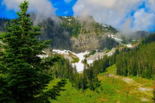
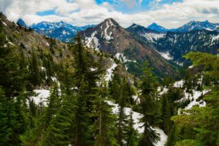
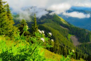
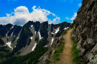
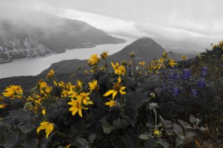
The amount of great hikes and places you can explore around Pacific Northwest are never ending, from south Cascades to Three Sisters Wilderness, peaks like Mt. Hood and Mt. St. Helens and Mt. Adams stretch near the Columbia River Gorge. In the north, Mount Rainier National Park and North Cascades National Park stretch for miles and eventually meet Mt. Baker Wilderness and the great Olympic peninsula to the west.
In the recent years, I have spent countless hours, days and months exploring this beautiful region and created several lists of hikes, backpacking routes and mountaineering trip logs for reference.
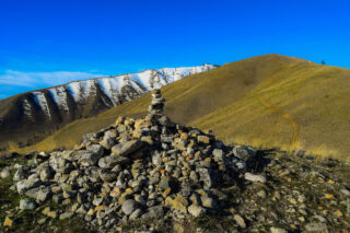
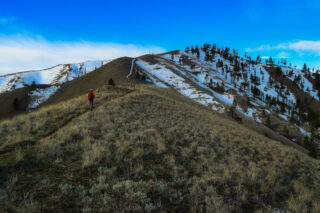
Granite Mountain
8.6 miles, roundtrip
Gain: 3800 ft.
Highest Point: 5629 ft.
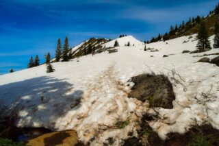
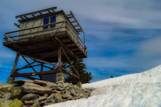
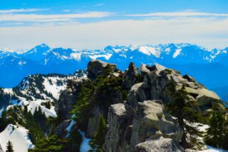
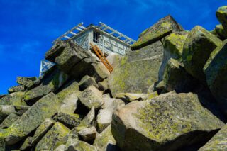
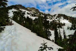
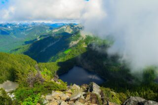
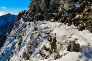
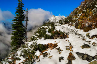
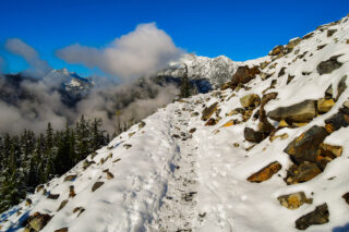
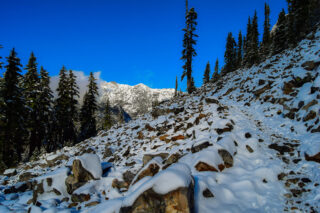
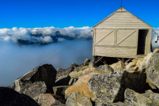
Granite Mountain is a tall peak in the Cascade Range, just east of Seattle. Beautiful medium hard hike to the top of the mountain with a fire lookout. This fire lookout that was first constructed in 1924 and was then rebuilt 31 years later. Sweeping views of the surrounding peaks and Mount Rainier.
In winter the trail up Granite Mountain crosses a large avalanche chute early in the hike. It is recommended to have experience navigating avalanche terrain and the proper equipment when hiking this trail in the winter.
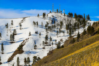
Mount Pilchuck
5.4 miles, roundtrip
Gain: 2300 ft.
Highest Point: 5327f.
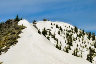
Mount Pilchuck is a mountain located about 37 miles northeast of Seattle. Mount Pilchuck is located within Mount Pilchuck State Park, but the area surrounding the mountain, including the trailhead, are within the Mount Baker-Snoqualmie National Forest. Newly restored fire lookout at the top is open to visitors and offers beautiful views of Glacier Peak.
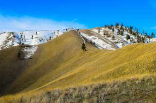
Mount Dickerman
8.2 miles, roundtrip
Gain: 3950 ft.
Highest Point: 5760 ft.
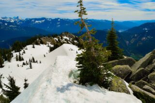
Mount Dickerman, or is located in Mount Baker-Snoqualmie National Forest , just northwest of Barlow Pass along the Mountain Loop Highway.
This is one of the finest summit view around, a rare chance to get so close to so many other summits at the same time.
Snoqualmie Mountain
3.8 miles, roundtrip
Gain: 3105 ft.
Highest Point: 6278 ft.
Snoqualmie Mountain is the tallest peak in the immediate vicinity of Snoqualmie Pass in the North Cascade Range of Washington state. Its shape is often described as “amorphous” or “blob-like”, although it does display a steep north face dropping down to the Middle Fork of the Snoqualmie River.
This is not really a hike, more of very steep scramble to the summit. Proper gear recommended, specifically in the winter months.
Mount Defiance
11.0 miles, roundtrip
Gain: 3584 ft.
Highest Point: 5584 ft.
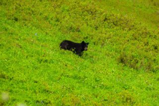
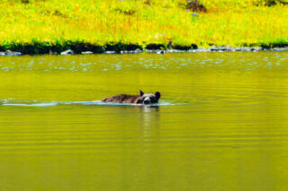
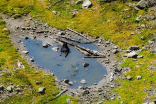
Mount Defiance is part of the Cascade Range and is within the Alpine Lakes Wilderness east of Seattle. Great hike that includes waterfall, lake, beautiful meadows and possible sightings of local black bear.
Mount Ellinor
6.2 miles, roundtrip
Gain: 3300 ft.
Highest Point: 5944 ft.
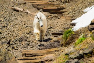
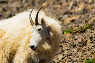
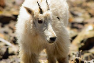
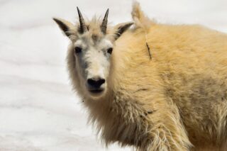
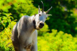
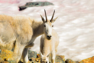
Mount Ellinor is a peak in the Olympic Mountains and is part of the Olympic National Park. Mount Ellinor also gives you two trailheads to choose from. The lower trailhead at 2,600 feet welcomes you to the ascent with an easy grade at the outset. The route from the upper trailhead at 3,500 feet starts out with a nearly immediate upward jolt.
Mountain goats usually hang out near the summit of this peak.
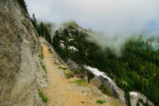
Kendall Katwalk
12.0 miles, roundtrip
Gain: 2600 ft.
Highest Point: 5400 ft
Kendall Katwalk is a 150 yard long narrow pathway blasted out of a steeply sloped granite rock face on the north ridge of Kendall Peak approximately 6 miles northeast of Snoqualmie Pass and a segment of Pacific Crest Trail.
Beautiful hike featuring several small waterfalls and breathtaking views of the surrounding peaks.
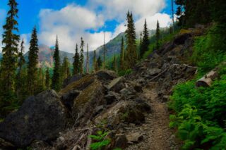
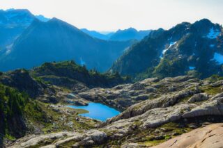
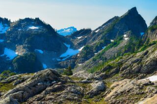
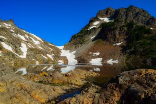
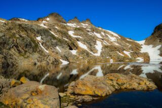
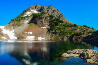
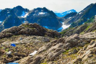
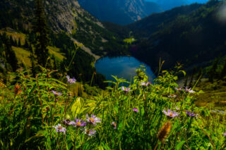
Gothic Basin
9.2 miles, roundtrip
Gain: 2840 ft.
Highest Point: 5200 ft.
Beautiful hike near Monte Christo old mining town, featuring several waterfalls, beautiful mountain basin with lake and sweeping views in all directions. Quite steep at places and requires some scrambling.
Dog Mountain
6.0 miles, roundtrip
Gain: 2800 ft.
Highest Point: 2948 ft.
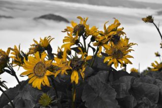
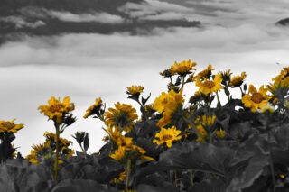
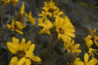
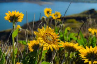
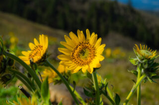
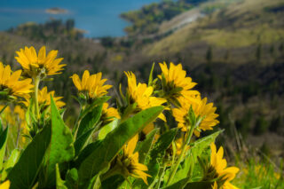
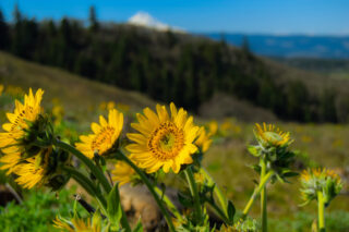
One of the most scenic hikes along the Columbia River Gorge in Oregon takes you up via steep trail that later rewards you with stunning views of the Gorge and if you come in the springtime, sea of wildflowers. If you only have time for one hike in the Gorge, this is it!
Rowena Plateau and Tom McCall Point
4 miles, roundtrip
Gain: 1200 ft.
Highest Point: 1750 ft.
Rowena Crest is a fabulous place to pull off the road and enjoy the sweeping views of the Columbia River.
The Tom McCall Preserve trail offers grasslands, basalt cliffs, and scrub oak forests form the landscape you’ll hike through on a trail that climbs steadily with ever-increasing views.
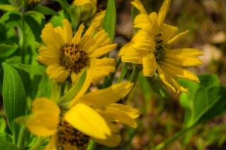
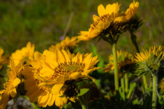
Spring may be the best time of year for this hike as the flowers are spectacular.
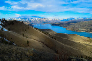
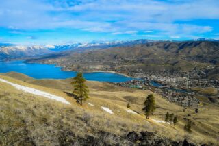
Lake Chelan Butte
8 miles, roundtrip
Gain: 2500 ft.
A moderate hike up the side of Chelan Butte and across the top of the ridge promises outstanding views of the Columbia Plateau, Columbia River and Lake Chelan.
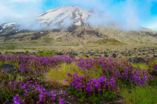
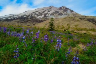
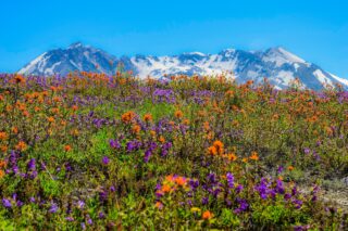
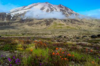
Mount St. Helens
10.0 miles, roundtrip
Gain: 4500 ft.
Highest Point: 8365 ft.
Mount St. Helens is an active stratovolcano located in Skamania County, Washington, in the Pacific Northwest region of the United States. It is 50 miles northeast of Portland, Oregon and 96 miles south of Seattle, Washington. The hike or more climb to the summit of this mountain has two starting trailheads, one for summer routes – Climbers’ Bivouac, and winter route which is knows as Worm Flows. The trail intersects famous Loowit Trail which is a trail that circumnavigates the whole mountain and is a strenuous 2-3 day backpacking trip. No permits needed for the backpack or winter route, permit to climb Mt. St. Helens is only needed April – October.
Several easy hikes starts from Johnston Ridge Observatory near the blast zone.
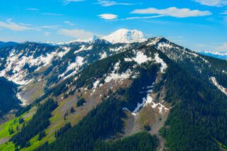
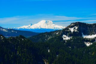
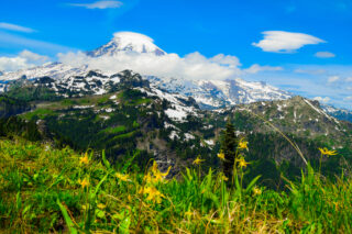
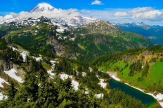
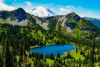
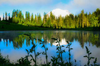
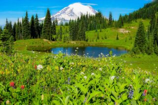
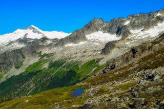
Mount Rainier National Park
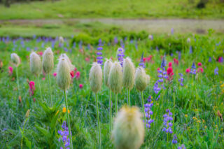
Mount Rainier National Park, a 369-sq.-mile Washington state reserve southeast of Seattle, surrounds glacier-capped, 14,410-ft. Mount Rainier. Atop 6,400-ft.-high Sunrise, the highest point in the park reachable by car, visitors can admire Rainier and other nearby volcanoes, including Mount Adams. The park’s 5,400-ft.-high Paradise overlook offers mountain views, summertime wildflower meadows and hiking trailheads.
Too many hikes to mention but some of my favorites are Skyline Trail near Paradise, Burrows hike near Sunrise, Tatoosh Ridgeline, Sourdough Gap and Naches Peak Loop.
One of my favorite adventures were backpacking the circa 100 miles long Wonderland trail around the mountain and climbing to the summit of Mt. Rainier.
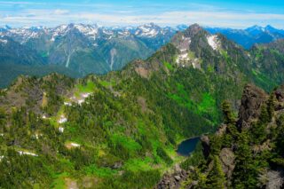
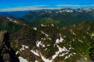
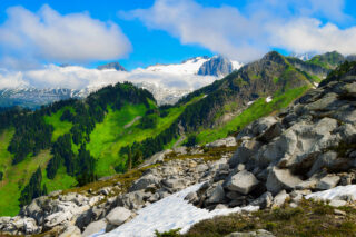
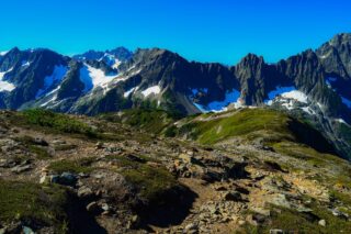
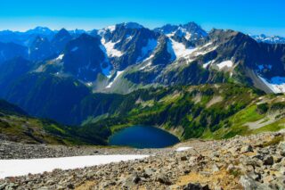
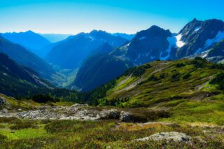
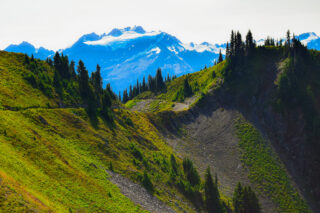
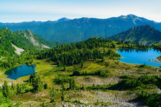
North Cascades National Park
North Cascades National Park is in northern Washington State. It’s a vast wilderness of conifer-clad mountains, glaciers and lakes. The North Cascades Highway passes viewpoints and leads to trails such as the steep Thunder Creek Trail. Boats dot Ross Lake. The remote community of Stehekin lies at the northern tip of deep Lake Chelan. The park shelters grizzly bears and gray wolves, plus more than 200 bird species.
Some of the most beautiful hikes in the parks are Cascade Pass & Sahalie Glacier, Hidden Lake Lookout and Heather-Maple Pass.
Olympic National Park
Olympic National Park is located on Washington’s Olympic Peninsula. The park sprawls across several different ecosystems, from the dramatic peaks of the Olympic Mountains to old-growth forests to beautiful beaches and coastline.
High Divide – Seven Lakes Basin
19.0 miles, roundtrip
Gain: 4000 ft.
Highest Point: 5120 ft.
Almost 20 mile long thru hike in the Olympic Mountains has it all. From jaw-droppingly mountain vistas, to clear lakes and wildlife. This hike can be done as a long day hike or 2-3 day backpacking trip.